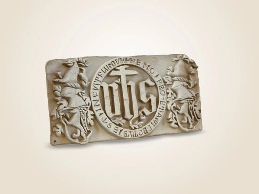
Ulcinj Old Town (Kalaja)
Stari grad Ulcinj (Kalaja)
Drag to rotate · pinch to zoom
loads {mb} MBDescription
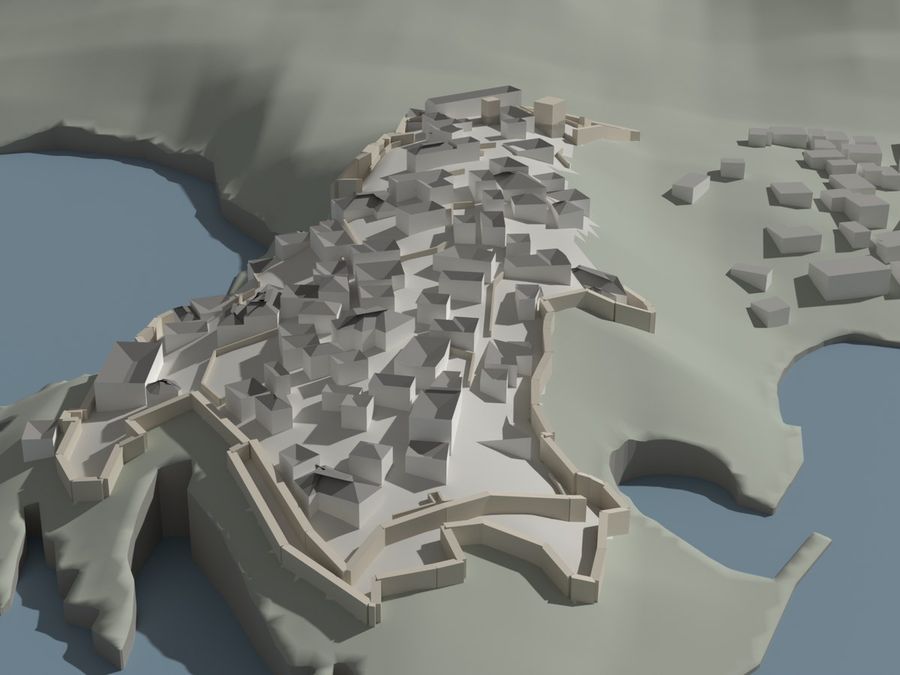
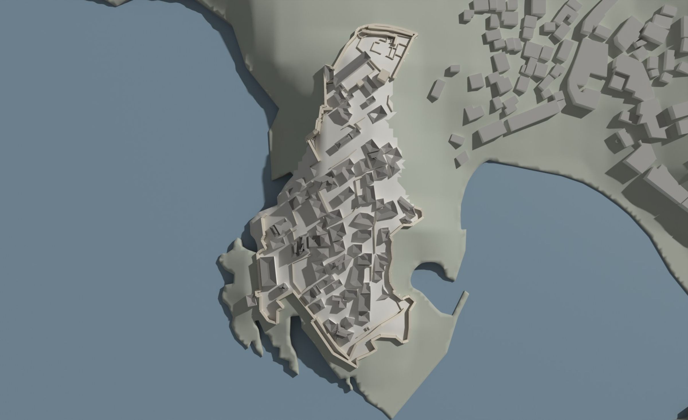
The Old Town of Ulcinj — **Kalaja** — on a rocky headland between the open sea and the bay of Mala plaža, as a 3D model you can turn and view from the sea, from the land and from above.
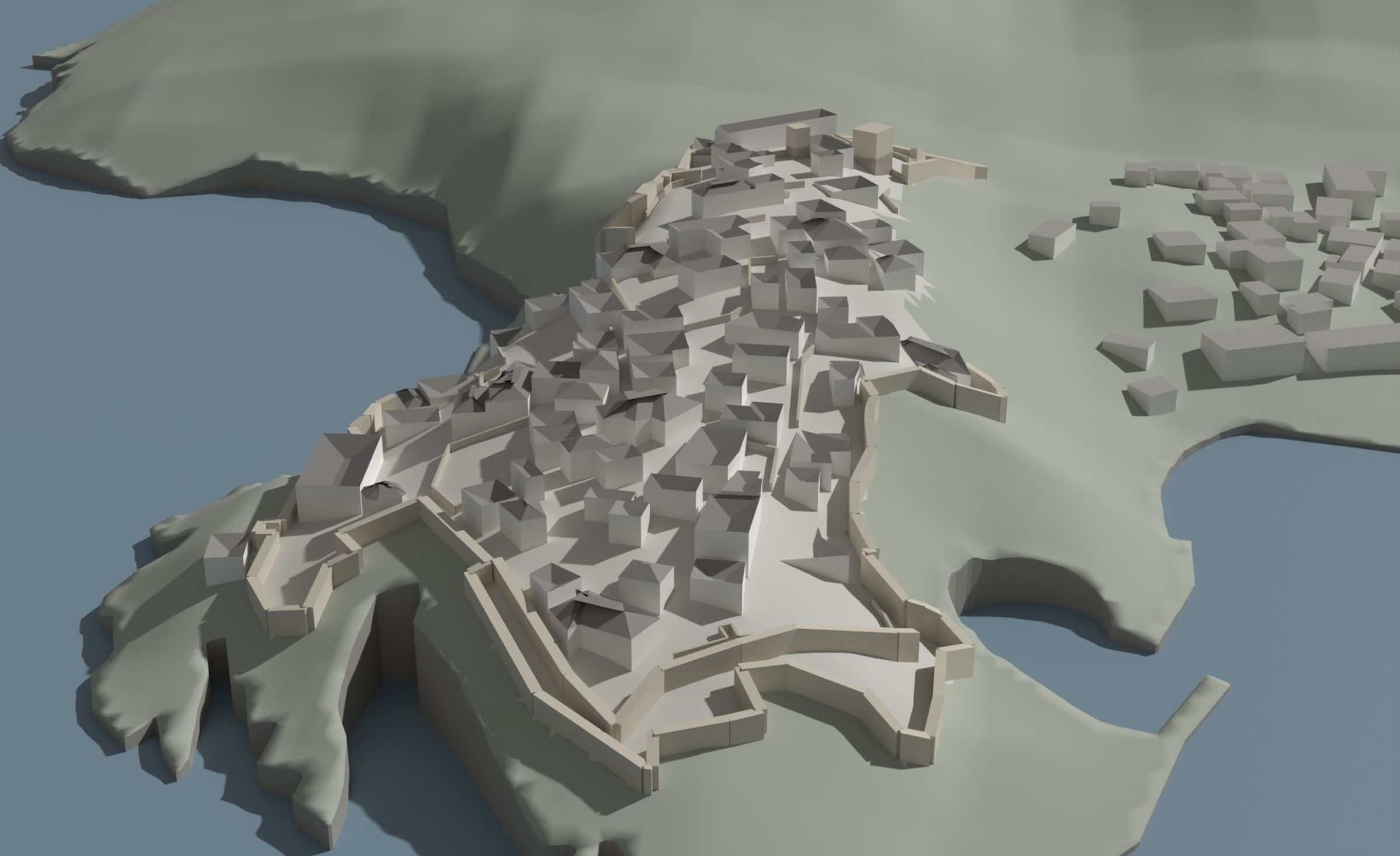
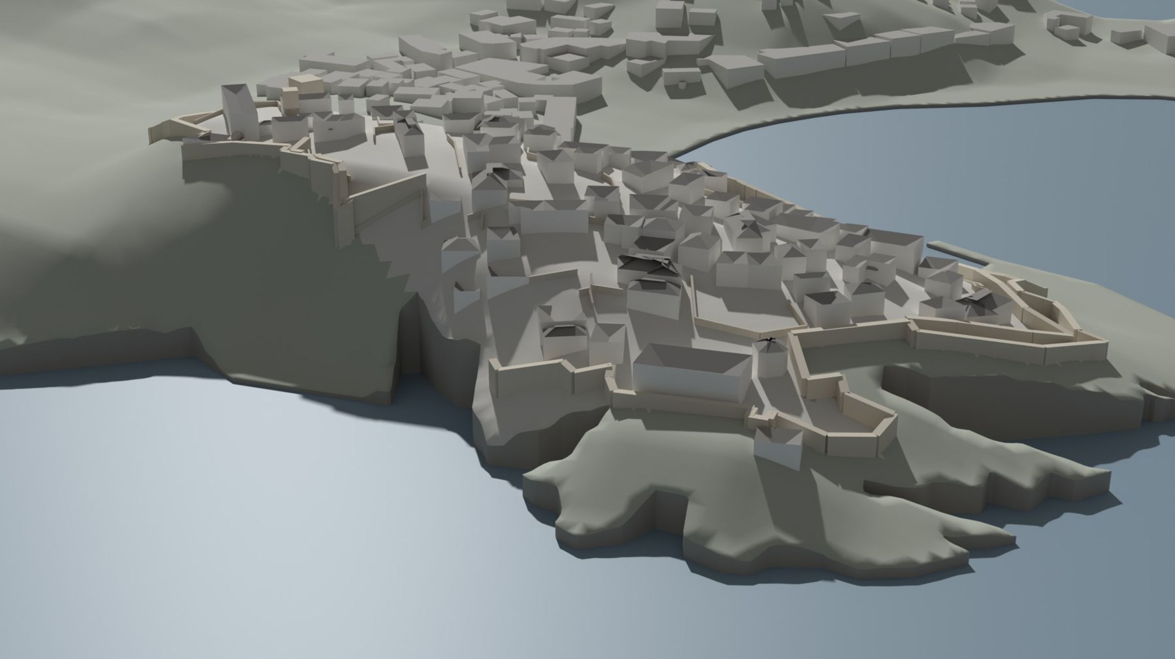
**The model is not a scan.** It was assembled from open spatial data: the outlines of **83 buildings** inside the fortress, the walls, two towers and the coastline come from OpenStreetMap [1], and the terrain from the Copernicus DEM at 30 m resolution [2], cut along the exact coastline. Measured from these data: the fortress covers **2.86 ha**, its perimeter is 988 m, and it spans 319 m north to south and 165 m east to west; the buildings inside the walls cover 8,502 m², and the wall lines in the data are 1,075 m long.
The data give no heights for the houses or the walls, so these were estimated, as stated in the footnotes. The model therefore shows **the layout of the town** faithfully — streets, blocks, the line of the walls above the cliff — but not the height of any single house. An exact model will come from a drone or lidar survey. The model is in shades of grey: light façades, darker roofs, the walls in warmer stone, streets, sea and surroundings each in its own tone, to make the town easier to read; the tones are not recorded colours.
## Layers of the town
The town on the rock was built in layers: each period kept the line of the earlier walls and built on it, so the epochs can still be told apart in the masonry. The layers are known from systematic excavations in 1953, 1955–1958, 1966–1969, 1971, 1977–1980 and 1982–1984. [5]
**Illyrian-Hellenistic layer, from the 4th century BC at the latest.** The oldest wall is built of megalithic blocks in dry-stone technique, without mortar. In the north-western part of the town part of its inner face survives in situ: **three courses of blocks, 15.5 m long and 0.85 m high**. The outer face was dismantled, and its blocks were later relaid and trimmed at the sides into the sloping escarp of the Venetian wall along the access ramp to the north gate. Single megalithic blocks can also be seen by the north gate, the cistern and the Venetian casemate. [5]
**Roman and late antique layer, 1st–6th century.** In Roman times the circuit of the town did not change much: the walls roughly follow the lines of the older ones. Two tombs of the 5th–6th century survive in the upper town: a double tomb painted inside, and a tomb with three graves and a barrel vault, with two megalithic blocks built into its foundations. [5]
**Medieval layer, 9th–15th century.** On the highest point a military stronghold arises — the upper town or **citadel** — with towers to the north and south-east, while the lower town on the slope receives walls and towers at its weaker points. This is when the town takes the footprint it has largely kept to this day. Both gates, the northern one towards the land and the south-eastern one towards the landing, date in their present form from the Middle Ages. In the lower town, by the lower gate, a single-nave Romanesque church of squared ashlar, **18.25 × 7.53 m**, with an apse to the east, was built in the 13th century on the site of a small 9th-century pre-Romanesque church (7 × 4 m, walls 0.7 m thick of roughly dressed stone and lime mortar, a floor of cut slabs). In the upper town a cistern was built over the late antique tomb, and a church over the cistern; columns, an Ionic capital, an impost capital with the monogram of Christ and chancel slabs from an early Christian church were built into them. [5]
**Venetian layer, 1421–1571.** Venice rebuilt the town walls, towers, entrances and gates on the model of its Adriatic towns: it raised walls with escarps, bastions and the citadel, and built or rebuilt most of the longest, southern wall. The Venetian wall is of **dressed stone laid in courses, with lime-mortar joints**. Inside the citadel, entered through the Revelin (north) gate, stood a cistern, the customs house, a square, the bishop's palace, parts of the “Bolani” wall and the Balšić Tower, a three-storey tower on a square plan, much altered later. The cathedral of St Mary in the upper town was restored in 1510. [5] [6]
**Ottoman layer, 1571–1880.** The church of St Mary was turned into the Town Mosque, to which a minaret was added in the 17th century; today it houses the Museum's archaeological collection. Casemates, powder magazines and the Skuraja fountain were built. From the 18th century the town spreads beyond the walls. [5]
Plates from the documentation
Literature and sources
- Podaci © OpenStreetMap contributors, licenca ODbL 1.0; tvrđava: relacija 10383454 „Tvrđava Ulcinj – Kalaja e Ulqinit“, https://www.openstreetmap.org/relation/10383454 (preuzeto 08.10.2026).
- Copernicus DEM GLO-30, © DLR e.V. 2010–2014 i © Airbus Defence and Space GmbH 2014–2018, u okviru programa Copernicus (Evropska unija, ESA), https://doi.org/10.5270/ESA-c5d3d65.
- CANU, Leksikon arheologije Crne Gore, odrednica „Ulcinj“ (M. Vrzić, A. Ljuljđuraj) — https://leks.canu.ac.me/web/arhcg.php?OID=7115
- CANU, Leksikon likovne umjetnosti Crne Gore, odrednica „Venecijanska utvrđenja u Crnoj Gori (XV–XVIII v.)“ (B. Ilijanić) — https://leks.canu.ac.me/web/llucg.php?OID=4290
From the same collection
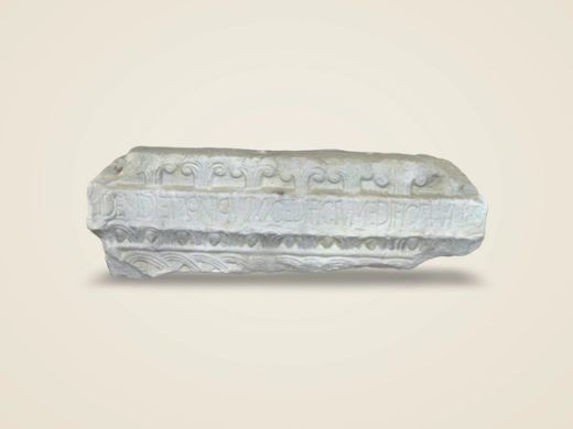
Fragment of the Ulcinj ciborium
Pre-Romanesque, 9th century: 813–820 (by the emperors named in the inscription)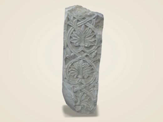
Fragment of a decorative doorframe
13th century (P. Mijović)